Complete guide to Algeria
Algeria is the largest country in Africa, and this scale changes everything. From our offices in Algiers, we see travelers spend a week on the Roman sites of the North—Tipaza, Djemila, Timgad—then shift in 2 hours of flight to Tamanrasset to reach the Hoggar, another country, another light. Between the two, Kabylie unfolds its villages perched at 900 meters, and the Mzab, in the Saharan valley, lines up its five fortified cities from the 11th century around Ghardaïa.
What strikes you here is the geographical diversity compressed into a few hours of driving or flying. The temperate Mediterranean coast gives way to the High Plateaus, then the Aurès, then the Grand Erg Oriental, an orange dune sea covering 190,000 km². On the heritage side, seven sites are UNESCO-listed, including the Casbah of Algiers and the Tassili n'Ajjer, a sandstone plateau in central Sahara that holds 15,000 rock paintings dating back 7,000 years.
For a first trip, we recommend combining Algiers and the northern coast with an excursion into the Sahara—Timimoun, Djanet, or Tamanrasset depending on the season. Permits for the southern Saharan regions require planning that you should coordinate with our team in advance.
The regions of Algeria
Each region has its own personality: climate, landscapes, pace of life and ways of traveling. Our local team helps you choose the combination that suits you.
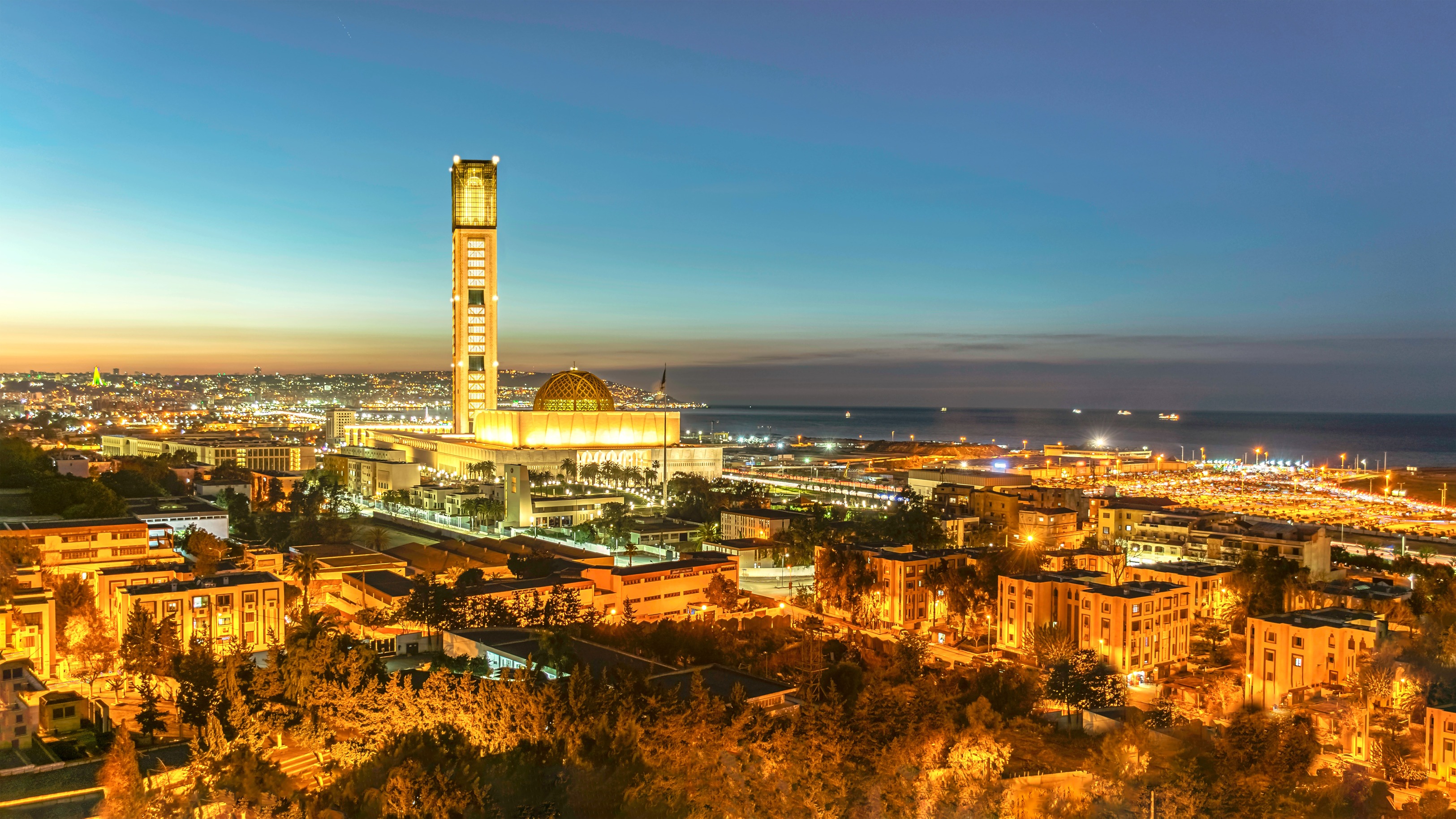
Algiers and the Coastal Region
Algiers the White cascades in amphitheater form above its bay, featuring the UNESCO-listed Ottoman Casbah with its alleyways sloping at 30 degrees. To the west, Tipaza lines its Roman ruins facing the sea, with the Chenoua as backdrop. Eastward, Béjaïa and the Kabyle Corniche open onto creeks accessible on foot. The Mediterranean climate allows travel year-round, with hot but breezy summers and mild winters around 12 to 15 degrees. It's an excellent gateway to understanding the layers of Algerian history—Phoenician, Roman, Ottoman, and French—and sampling makrouts with date paste from downtown pastry shops.
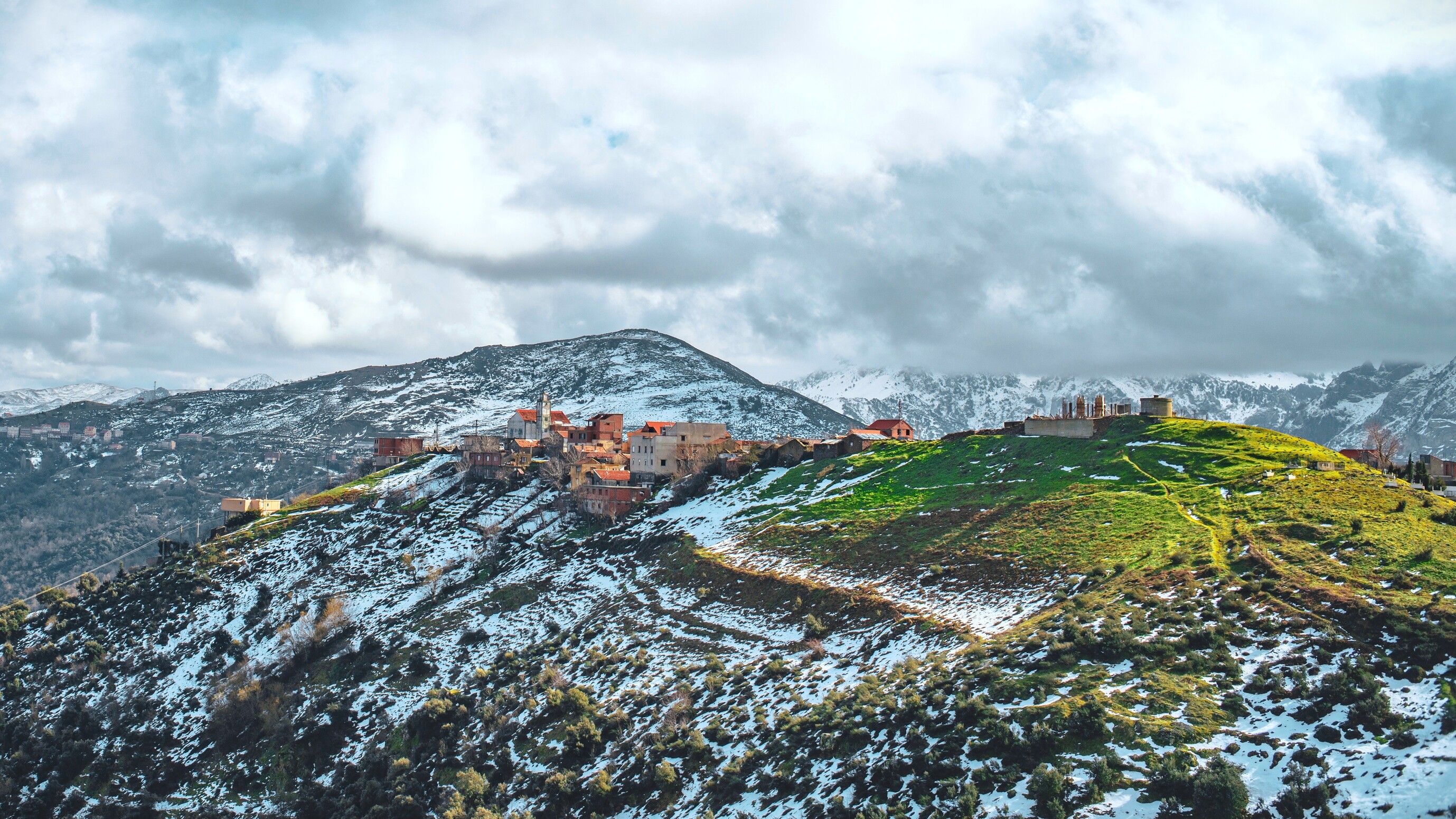
Kabylie and High Plateaus
Southeast of Algiers, the Djurdjura peaks at 2,308 meters and is home to Berber villages clinging to its slopes, such as Aït Yenni, renowned for its silver and coral jewelry. The High Plateaus stretching toward Sétif and Constantine present another face—steppic, at 900 meters altitude, dotted with remarkably preserved Roman cities: Djemila and Timgad rank among the most complete sites in the Mediterranean basin. Constantine, the city of suspended bridges, overlooks a 200-meter canyon. Plan 5 to 7 days for this cultural loop, ideal in spring when the almond trees bloom.
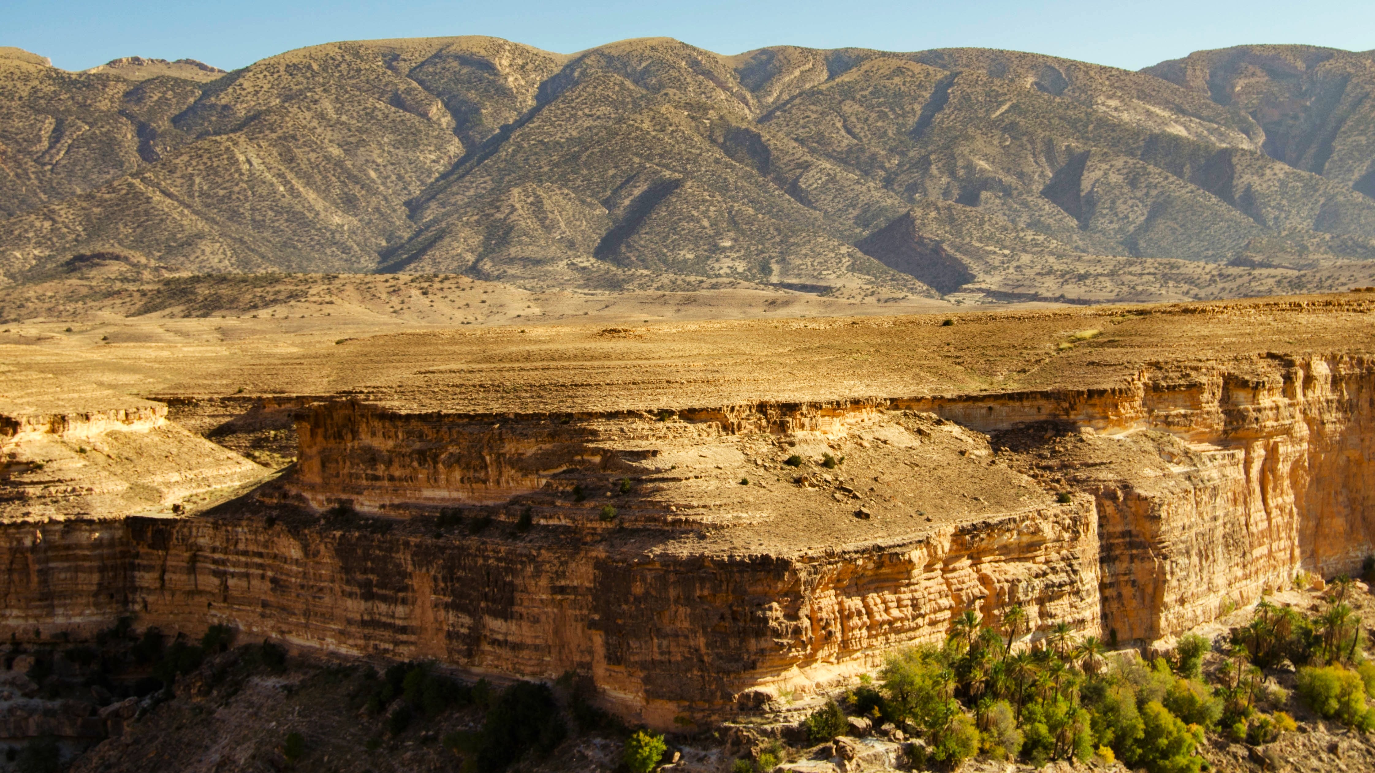
Aurès and North-East
The Aurès massif, land of the Chaouia people, unfolds its red canyons around Ghoufi, where troglodytic dwellings nestle into the cliff face. Further north, Annaba opens onto the Mediterranean with the Basilica of Saint Augustine and the ruins of Hippo. The region remains little visited by foreign travelers, making it ideal terrain for direct exchange with locals, particularly in the villages of Menaa and T'kout. Temperatures rise sharply in summer, with July and August exceeding 38 degrees; we recommend visiting in April-May or October.
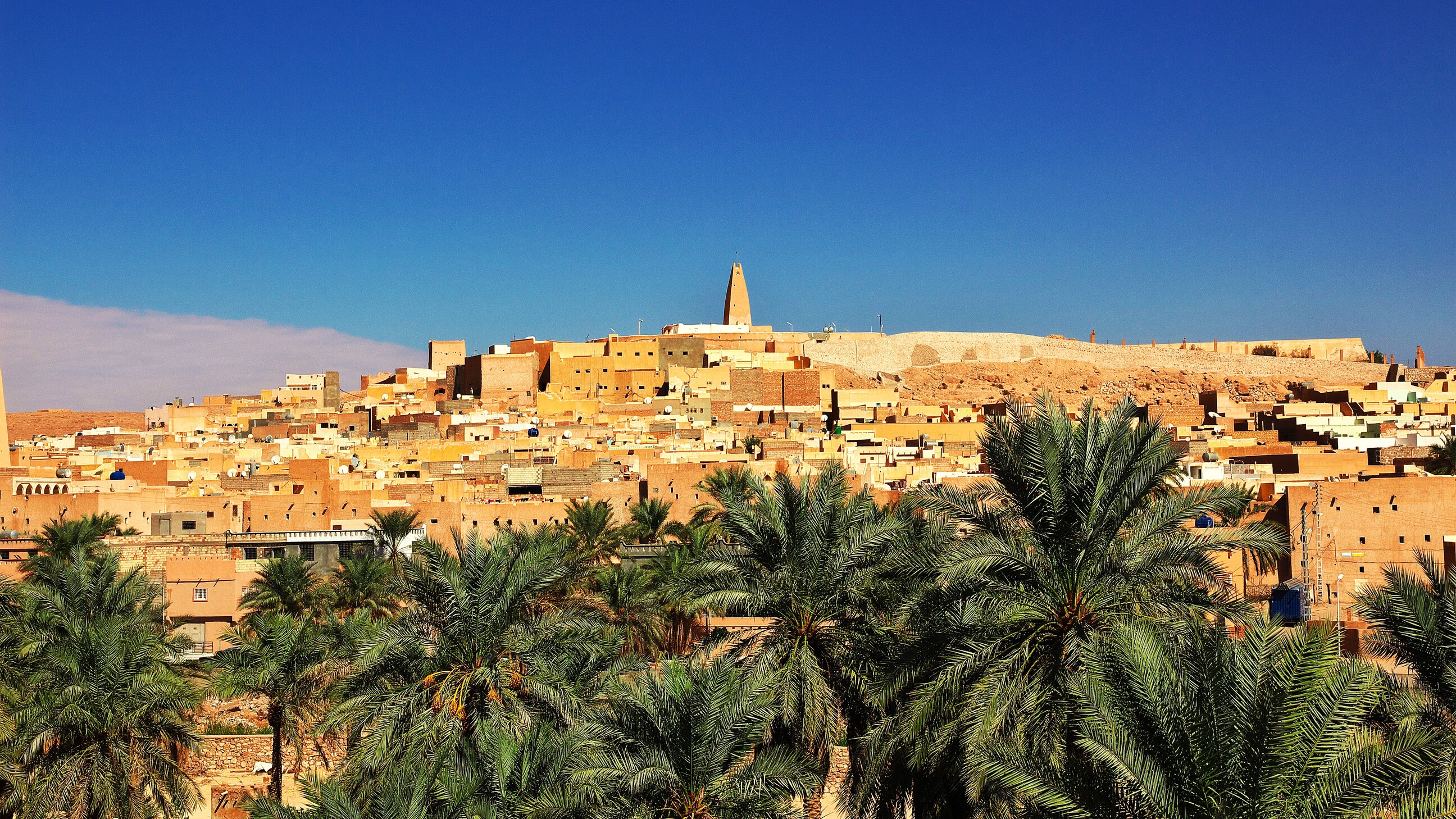
Mzab and Northern Sahara
Located 600 km south of Algiers, the Mzab valley lines five fortified Ibadite cities built in the 11th century around Ghardaïa, UNESCO-listed for their original urban design that inspired Le Corbusier. Further west, Timimoun, the red city, overlooks a sebkha and opens onto the Grand Erg Occidental. Temperatures remain comfortable from October to April, with daytime highs around 22 to 28 degrees and cool nights. It's the most accessible gateway to the Algerian Sahara, reachable by direct flight from Algiers in 1h30.
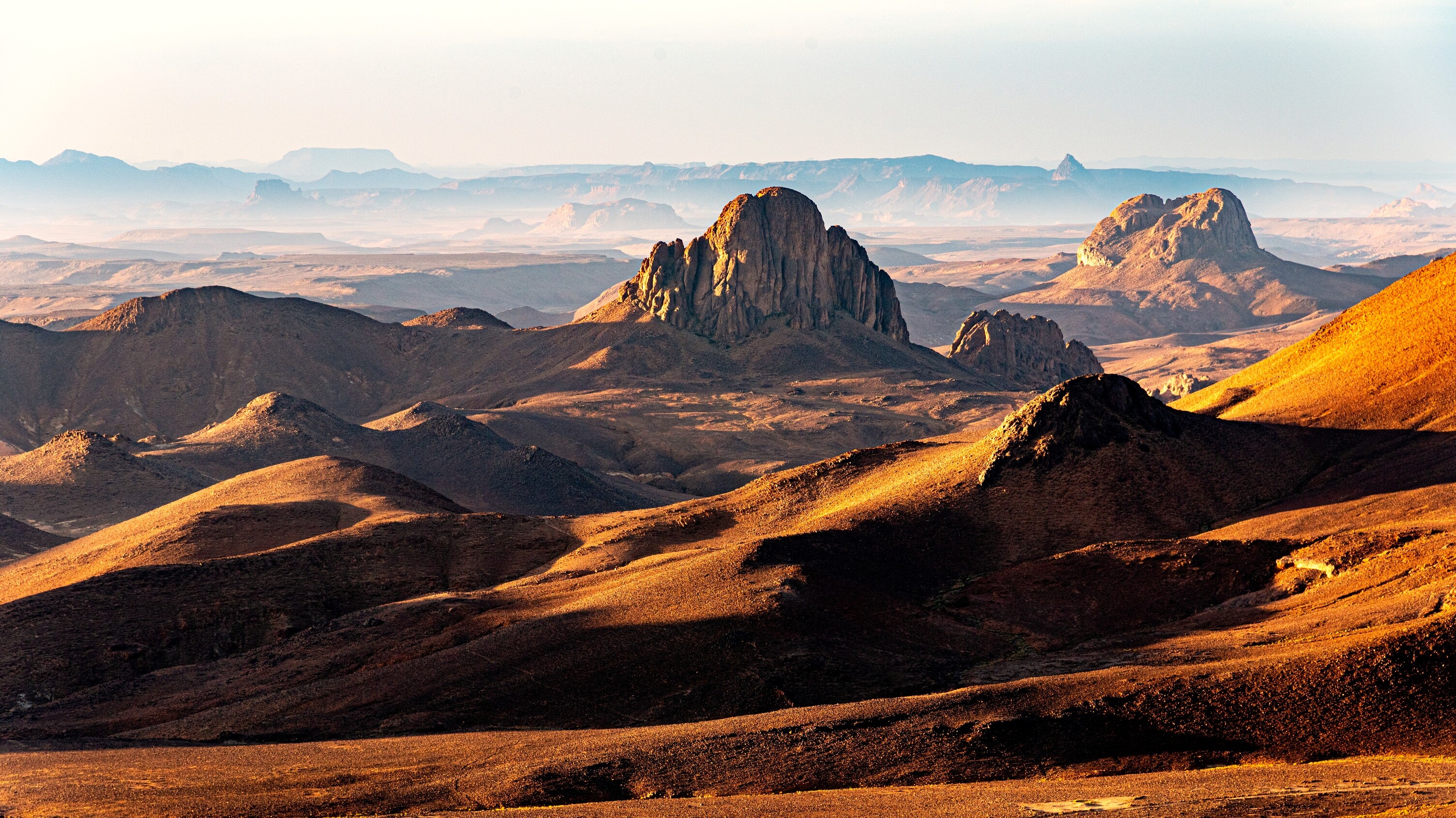
Hoggar and Tassili n'Ajjer
Central Sahara is a journey like no other. From Tamanrasset, you reach Assekrem at 2,728 metres to watch the sunrise over the volcanic peaks of the Hoggar, a black mineral landscape where Charles de Foucauld once lived. Further east, the Tassili n'Ajjer plateau, accessible from Djanet, preserves 15,000 prehistoric rock paintings on its sandstone walls. Plan for a minimum of 8 to 10 days, with tent camps and a 4x4 vehicle required. The best season runs from November to March, with night temperatures dropping to freezing at altitude. Permits and local guidance are essential—we arrange both from Algiers.
Explore by theme
Unique experiences tailored to every traveler.
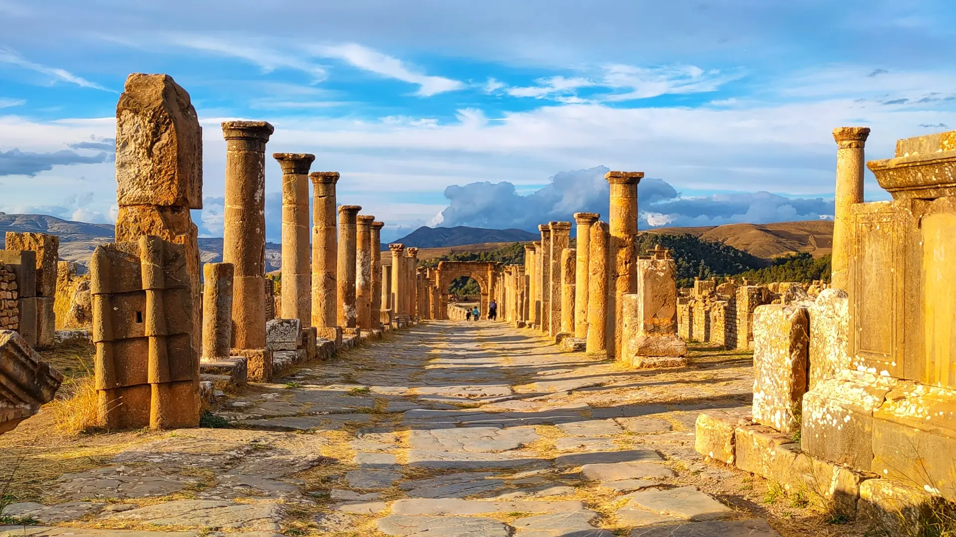
Culture & Heritage
Temples, musées, sites historiques
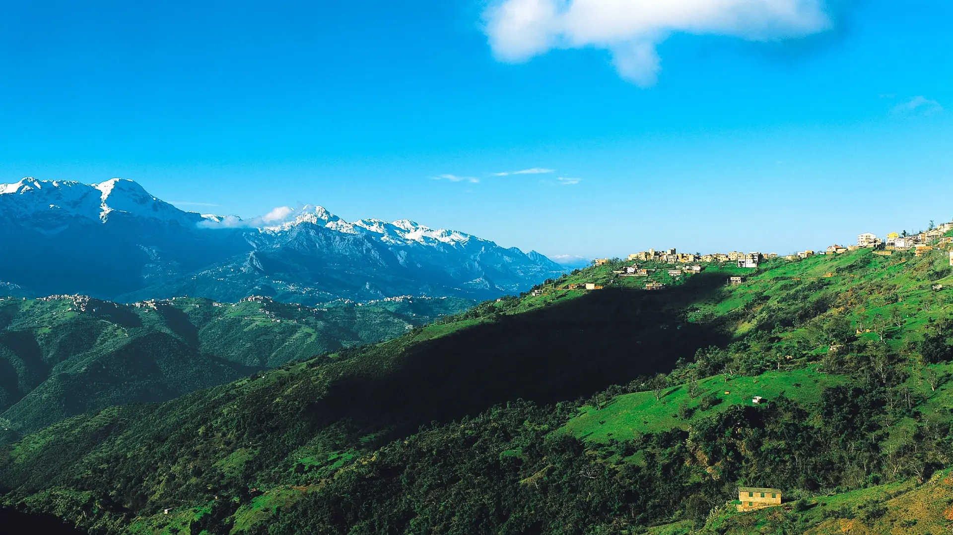
Nature & Landscapes
Parcs nationaux, montagnes, forêts
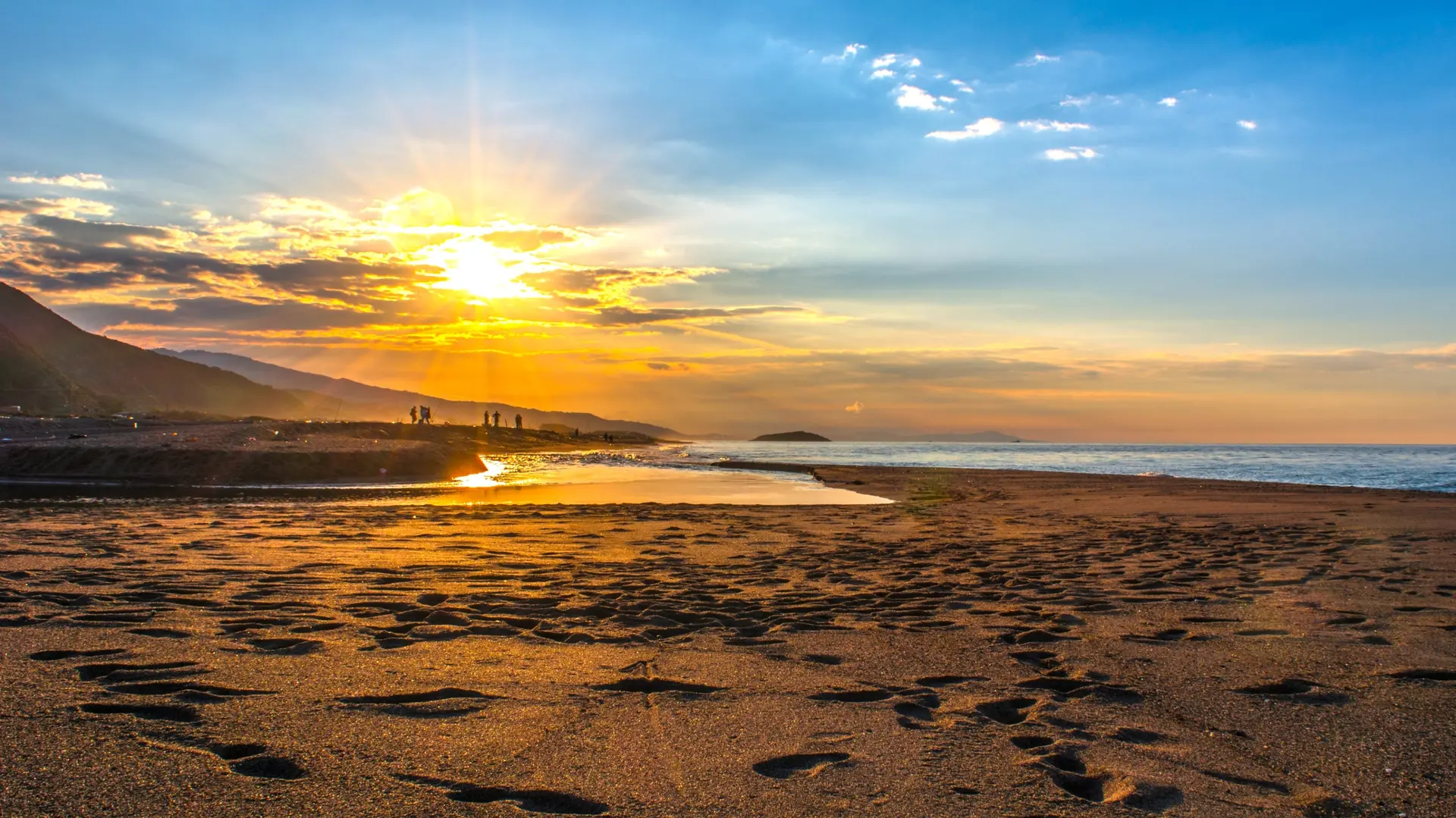
Sea & Beaches
Littoral, îles, sports nautiques
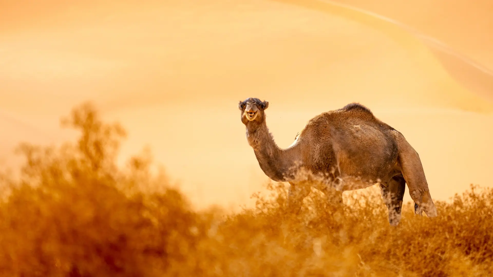
Wildlife & Biodiversity
Observation animale, sanctuaires, réserves
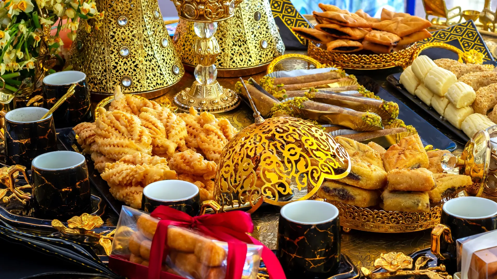
Gastronomy
Cuisine locale, marchés, cours de cuisine
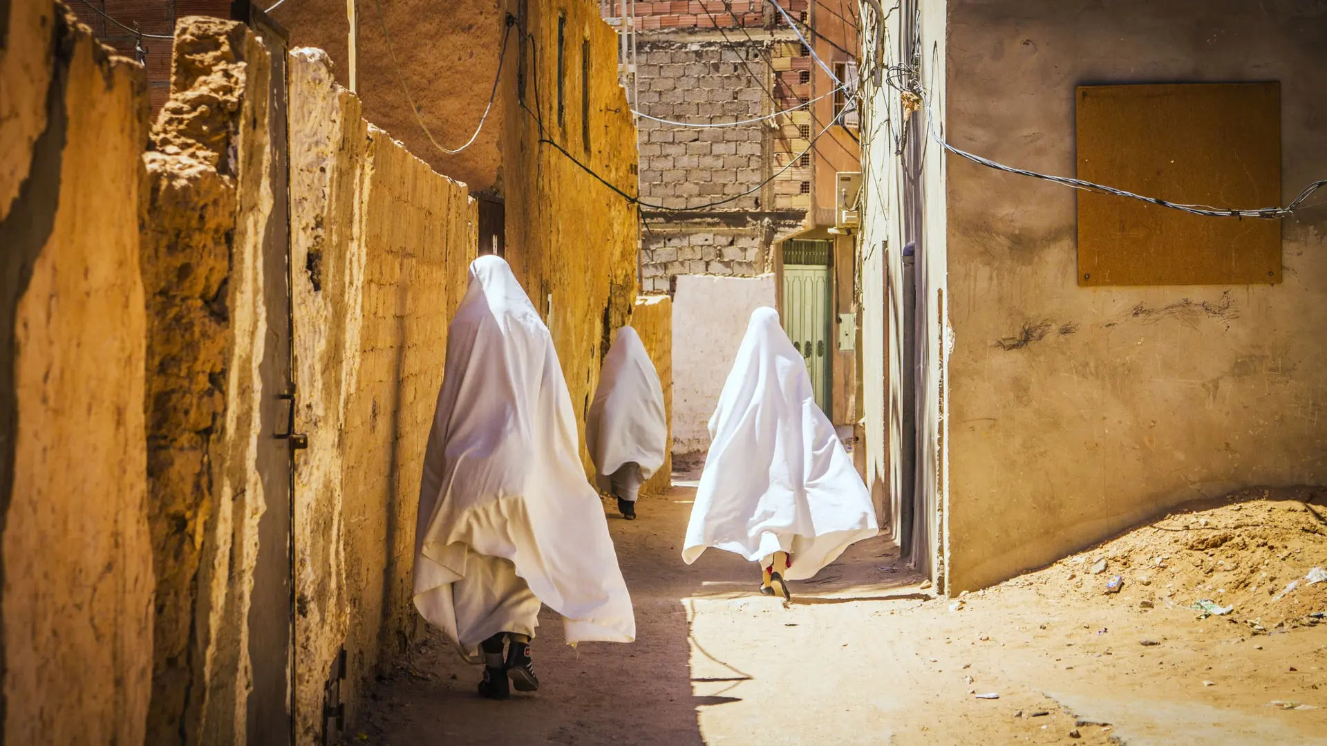
Spirituality
Temples, méditation, retraites spirituelles
We use cookies to improve your experience and measure our site's audience. You can choose what you accept. Learn more.