Tassili n'Ajjer National Park in Algérie
Tassili n'Ajjer National Park in Algérie
A UNESCO-listed Saharan plateau, Tassili n'Ajjer concentrates 15,000 rock engravings and unique sandstone landscapes, accessible from Djanet.
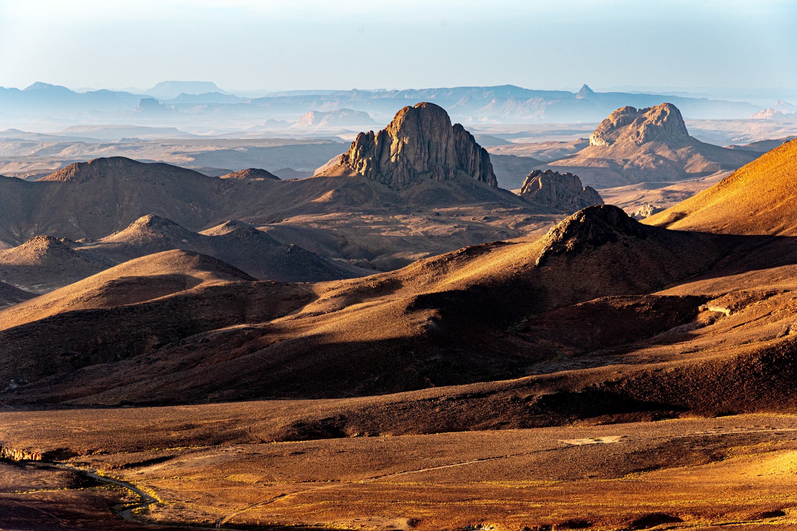
Tassili n'Ajjer National Park occupies a high sandstone plateau in central Sahara, in southeastern Algérie. Inscribed on the UNESCO World Heritage list since 1982, it shelters one of the world's most extensive collections of prehistoric rock art, geological landscapes carved by erosion, and Saharan wildlife adapted to extreme aridity. Access is from the town of Djanet, located some ten kilometers southwest of the first cliffs.
Why visit Tassili n'Ajjer
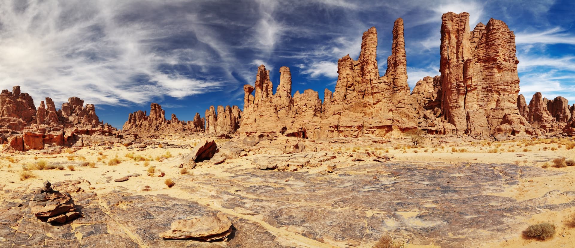
Three elements structure the site's appeal. First, the rock art: approximately 15,000 engravings and paintings scattered across the plateau, with the oldest dating back 9,000 to 10,000 years, testify to a verdant Sahara inhabited by hunters and then herders. Second, the geomorphology: forests of stone, natural arches, gorges and gueltas (permanent water pools) result from millions of years of wind and water erosion on sandstone. Finally, the residual biodiversity: despite aridity, the plateau preserves remnants of tropical flora, notably the Tassili cypress, an endemic species critically endangered.
History and protection status
Long known to Tuareg populations, Tassili was only systematically studied by European scientific missions from the mid-20th century onwards, notably through Henri Lhote's expedition in the 1950s. The Algerian government designated it a national park in 1972, covering an initial area of 3,000 km². UNESCO inscribed it as a World Heritage site in 1982, on both cultural and natural criteria. Biosphere Reserve status was obtained in 1986. On February 23, 2011, the site was renamed Tassili N'Ajjer Cultural Park and placed under the Ministry of Information and Culture. The protected area expanded from 3,000 km² (1972) to 72,000 km² (1982) then 138,200 km² (1987).
Geography of the park
The park is located in Illizi province and covers the municipalities of Djanet, Bordj El Haouès and Illizi. It borders Libya to the east and Niger to the south. The plateau extends roughly 50 to 60 km east to west and nearly 800 km north to south. Its average altitude is around 1,000 meters, with a highest point at Adrar Afao (2,158 meters). The Iherir valley, designated a Ramsar site on February 2, 2007, peaks at 1,070 meters and is home to permanent gueltas. The town of Djanet, 10 km to the southwest, serves as the main entry point.
What to see on the plateau
Rock art
The Oued Djerat and Sefar plateau sites concentrate a portion of the 15,000 recorded figures. The motifs depict antelopes, cattle, crocodiles, giraffes and pastoral scenes, testifying to a humid climate between 10,000 and 4,000 years before our era. The engraving known as "The Weeping Cow," carved in deep grooves, illustrates Neolithic technical mastery: harmonious silhouettes achieved through pecking and polishing of the rock.
The ksour
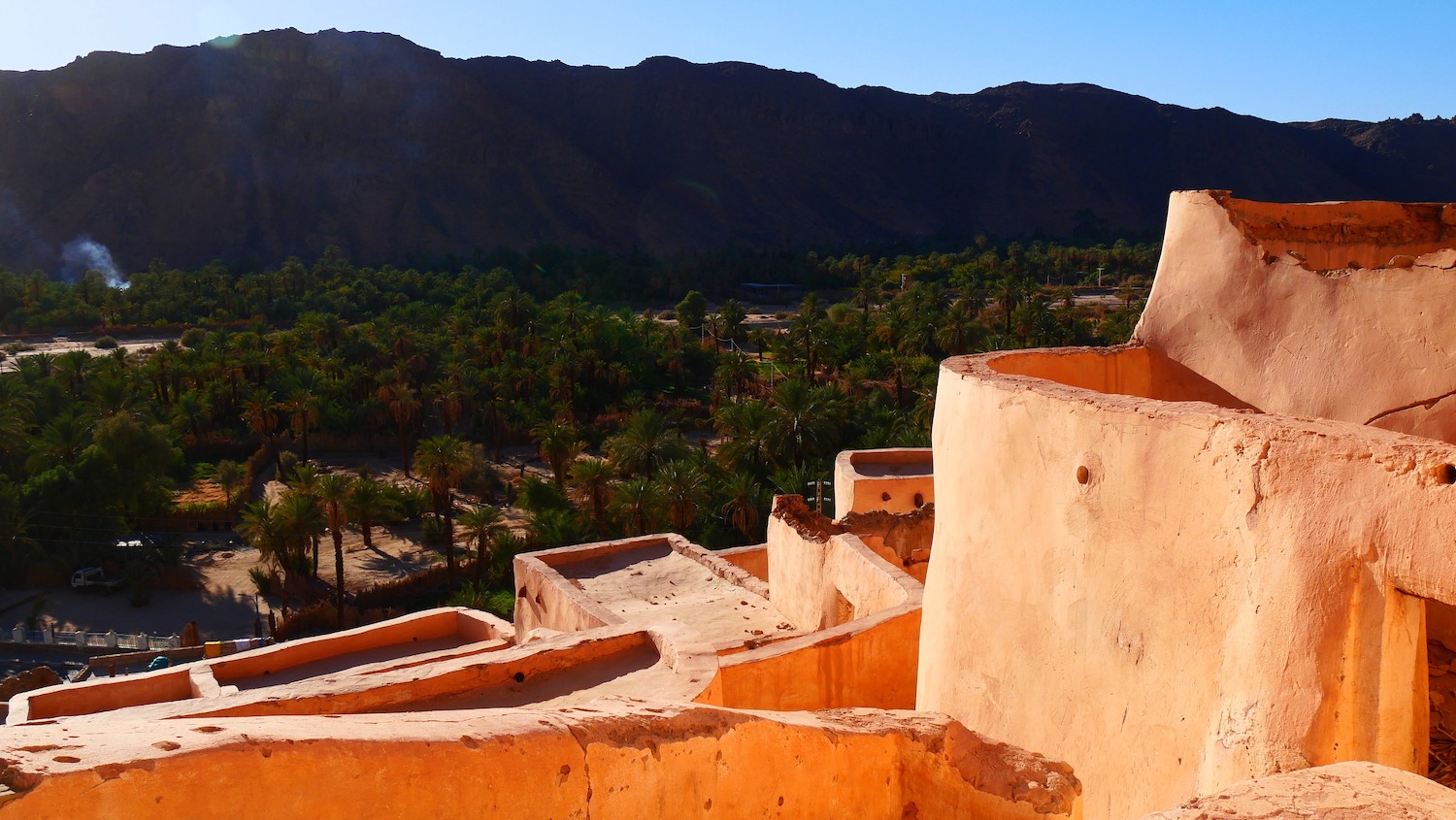
Two traditional villages merit a stop. El Mihane, at the southern end, presents the archetype of a Saharan ksar with its earth and stone houses tiered on the slopes. Adjahil is nestled against a cliff and overlooks irrigated gardens fed by springs.
Fauna and flora
The plateau is home to the maned sheep, several gazelle species, as well as endemic fish in the gueltas. The Saharan cheetah, fennec, sand cat and Saharan gundi are recorded but in reduced numbers. The avifauna includes owls, fierce eagles and golden eagles. The relict flora combines the Tassili cypress (Cupressus dupreziana), acacia and tamarisk, accompanied by medicinal plants used by Touaregs.
Practical information
Park access is regulated. Since abductions in 2003, hiring an official guide is mandatory for any visit, and off-track driving is prohibited. The typical outing combines a 4x4 approach from Djanet to the foot of the cliffs, then a multi-day hike on the plateau in self-sufficiency, with camels for portage. Three passes allow access to the plateau: Afilalet, Assakao and Aroun. Only Assakao is navigable by camels; donkeys use all three. Plan several days on-site to reach the major rock art sites, which often require one to two days of walking from the foot of the plateau.
Pack appropriate gear: hiking boots, full-length clothing, sunglasses and desert headwrap, sleeping bag suited to cold nights, large-capacity water bottles.
When to visit
The climate is hyper-arid with approximately 25 mm of annual precipitation. Average temperatures range between 20 and 21 °C, but can reach 50 °C in summer and drop to 1 °C in winter. The most favorable periods for hiking are October-November and February-March. Summer should be avoided due to heat; the heart of winter remains possible but nights on the plateau are rigorous.
How to get there
Access is via Djanet, served by flights from Algiers (Djanet Tiska airport). The N3 national road reaches the town by land, but distances from the north of the country are considerable and the route requires travel in convoy with stops. From Djanet, local agencies and licensed guides organize 4x4 transfers to hiking departure points. No regular bus service serves the interior of the park.
See also in the region
- Djanet, oasis and logistical base for exploring Tassili.
- Tin Merzouga and Tadrart rouge, sandstone massif with ochre dunes southeast of Djanet.
- Hoggar National Park, another major Algerian Saharan massif, around Tamanrasset.
- Saharan fauna, to deepen knowledge of Algerian desert species.
- The Amadror salt flats, a salt plain in central Sahara.
Frequently asked questions
Frequently asked questions
Yes. Since the 2003 abductions, authorities have mandated the use of an official guide for any venture into the park. Off-track driving is also prohibited. Agencies based in Djanet employ licensed Tuareg guides.
A thorough exploration requires a minimum of 5 to 7 days, including several nights camping on the plateau to reach major rock art sites like Sefar or Tin Tazarift. Shorter circuits allow viewing the periphery and neighboring dunes.
October-November and February-March offer the most favorable conditions. Summer should be avoided due to heat; the heart of winter remains feasible but requires gear suited to cold nights.
Three passes allow ascent: Afilalet, Assakao and Aroun. Access is on foot, by donkey or camel, with the latter able to use only the Assakao pass. No motorized road leads to the top.
The park remains open, but climatic conditions effectively restrict visits to intermediate seasons. Administrative procedures (permit, visa, guide) should be arranged several weeks in advance.
Prepare your trip
Tassili n'Ajjer is a demanding site that requires advance planning. To build an itinerary combining Djanet, the plateau and neighboring massifs, explore our trips to Algérie and partner local agency suggestions.
Interested in this visit?
We can include it in your personalised itinerary.