9 articles to prepare your trip
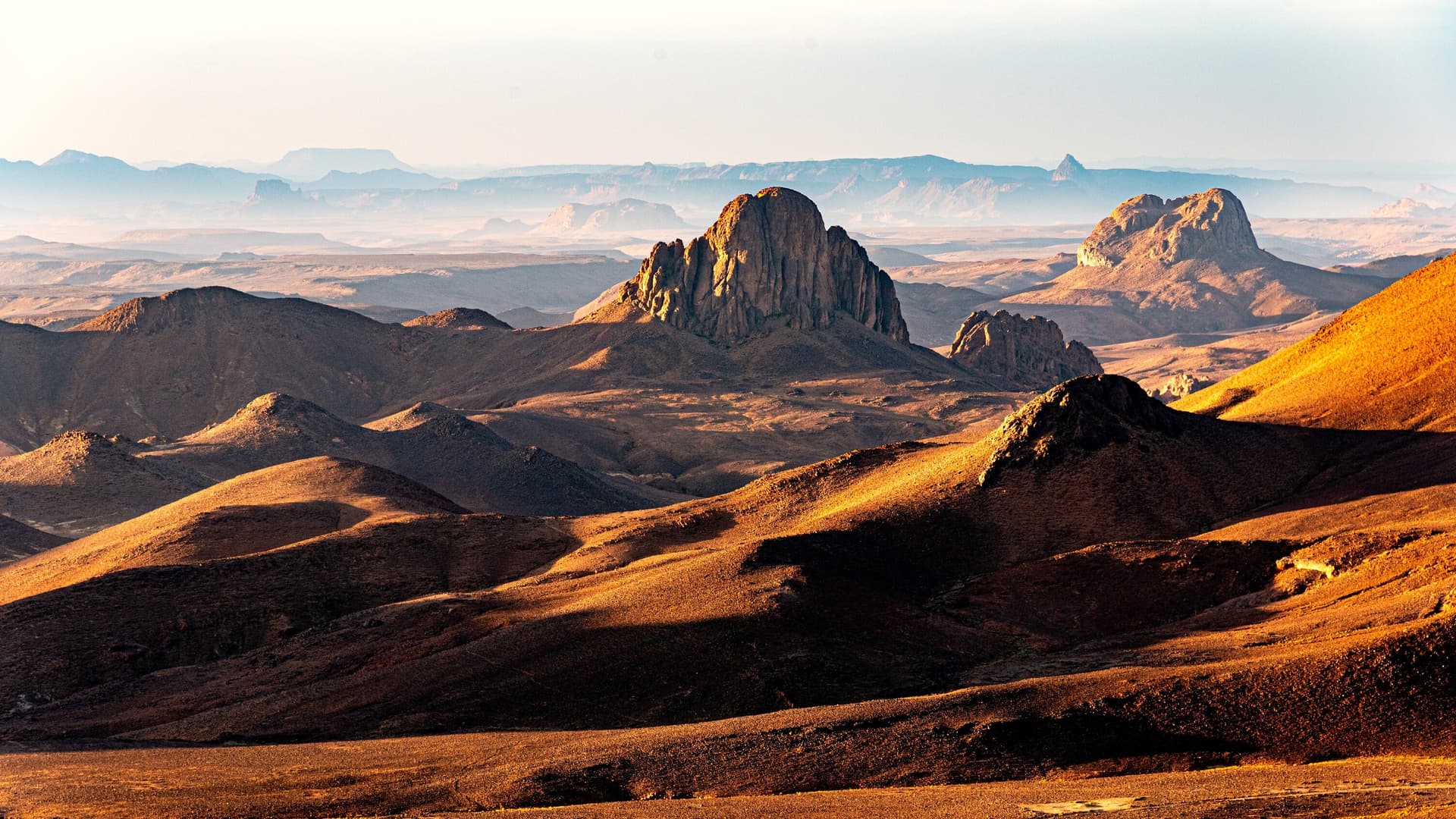
Hoggar
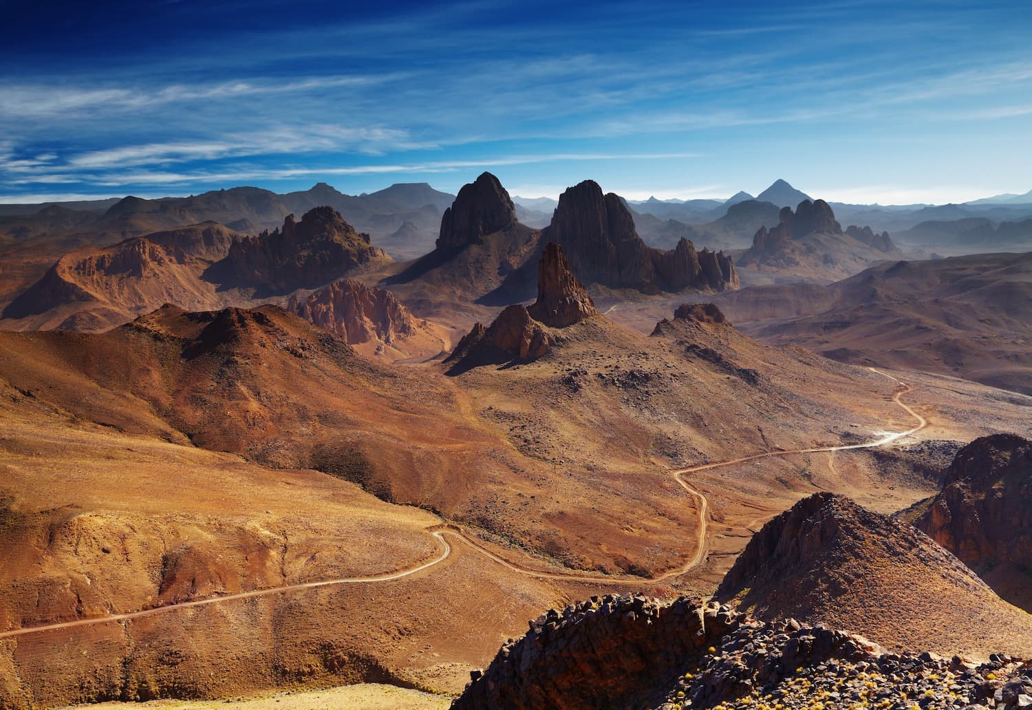
"The Ahaggar is the southernmost part of the Algerian Sahara, situated approximately between the 20th and 25th parallels of the Northern Hemisphere and the 3rd and 7th degrees east of the Prime Meridian. The su
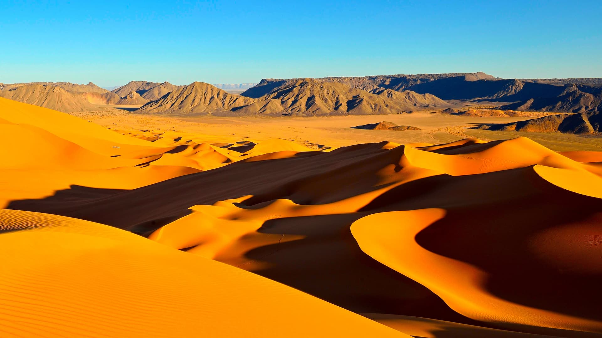
The Grand Erg Occidental is an immense crescent-shaped sea of sand spanning 80,000 km². You will find no mountains here, yet its dunes rise to heights of 120 m. Travel through it proves challenging.
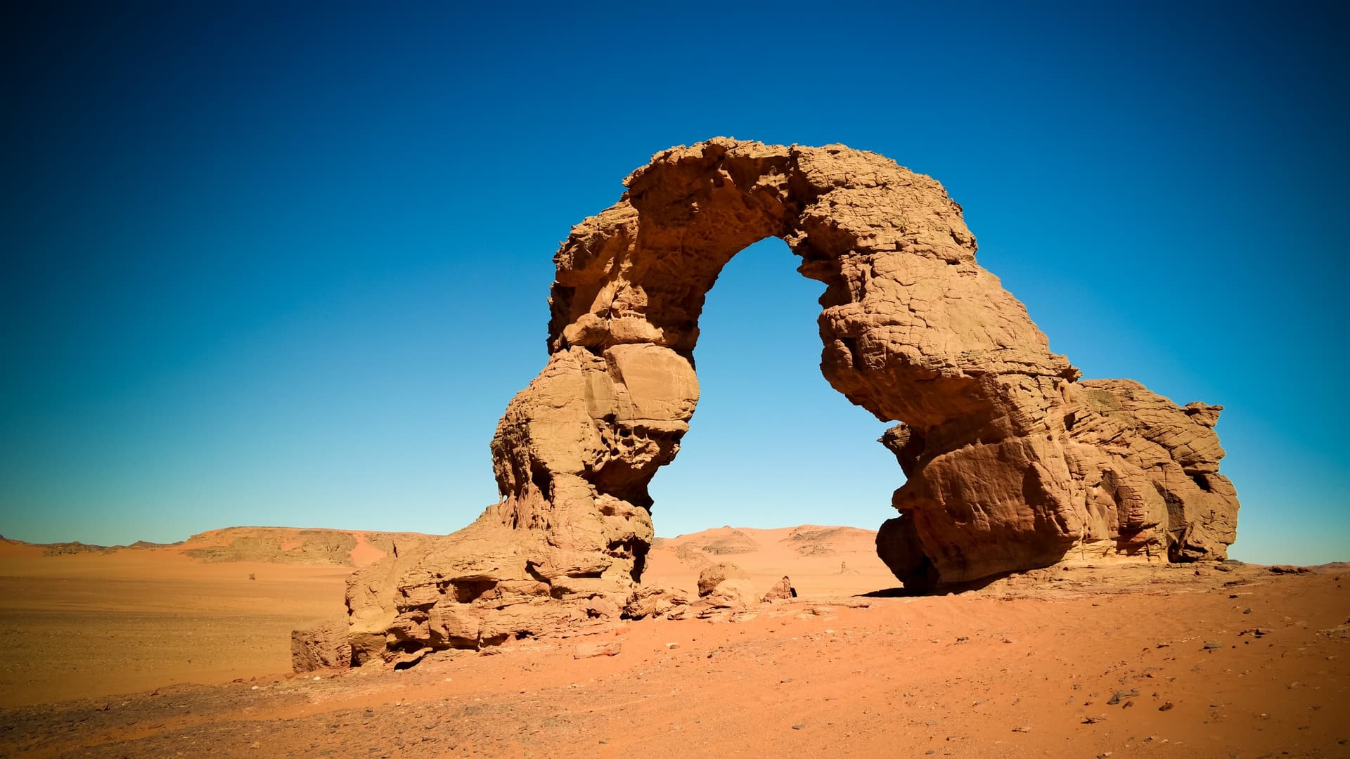
The Algerian Tassilis (a Tamahaq word designating vast, bare plateaus, more or less fractured) are composed of series of sandstone of marine origin, dating from the primary era. Their thickness reaches nearly 600 meters in some places.
These tassilis form the northern and northwestern quarter of the sandstone belt surrounding the Hoggar. Between Tamanrasset and In Salah, they constitute a powerful sandstone barrier carved by canyons and gorges, the most famous of which are those of Arak.
Central Sahara from Tamanrasset and Djanet: black volcanoes of Hoggar at 2,908 metres, 15,000 rock paintings of Tassili, Tuareg bivouacs from November to March.
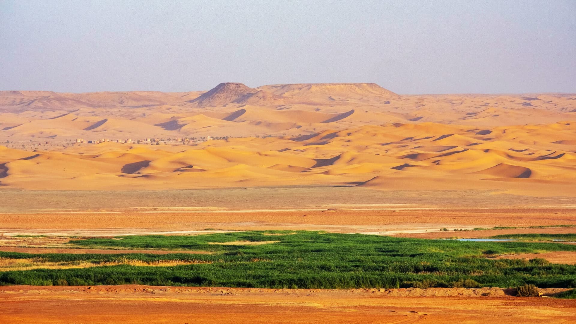
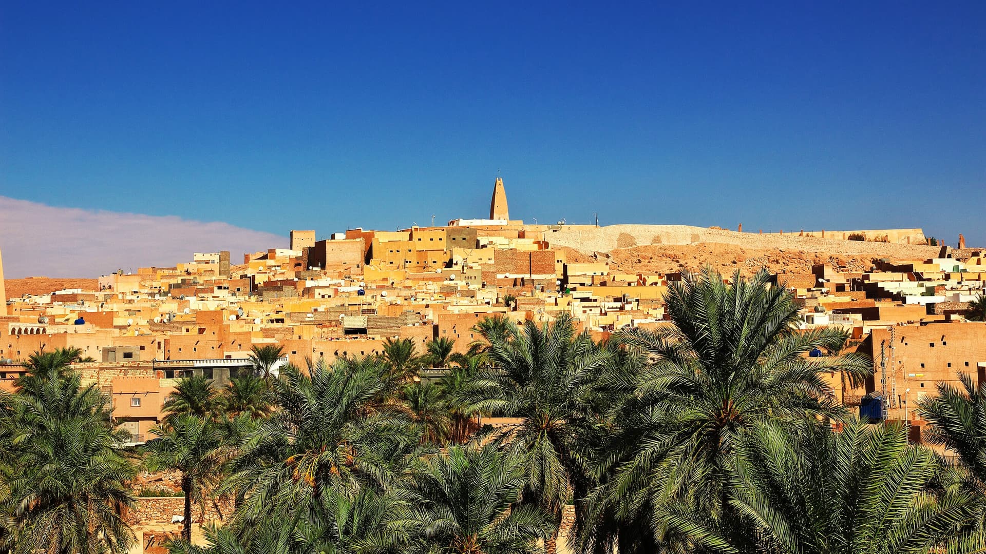
Five Ibadi cities from the 11th century in the Mzab valley, Gourara oases irrigated by foggaras and the dunes of Grand Erg Occidental, just 1.5 hours by flight from Algiers.
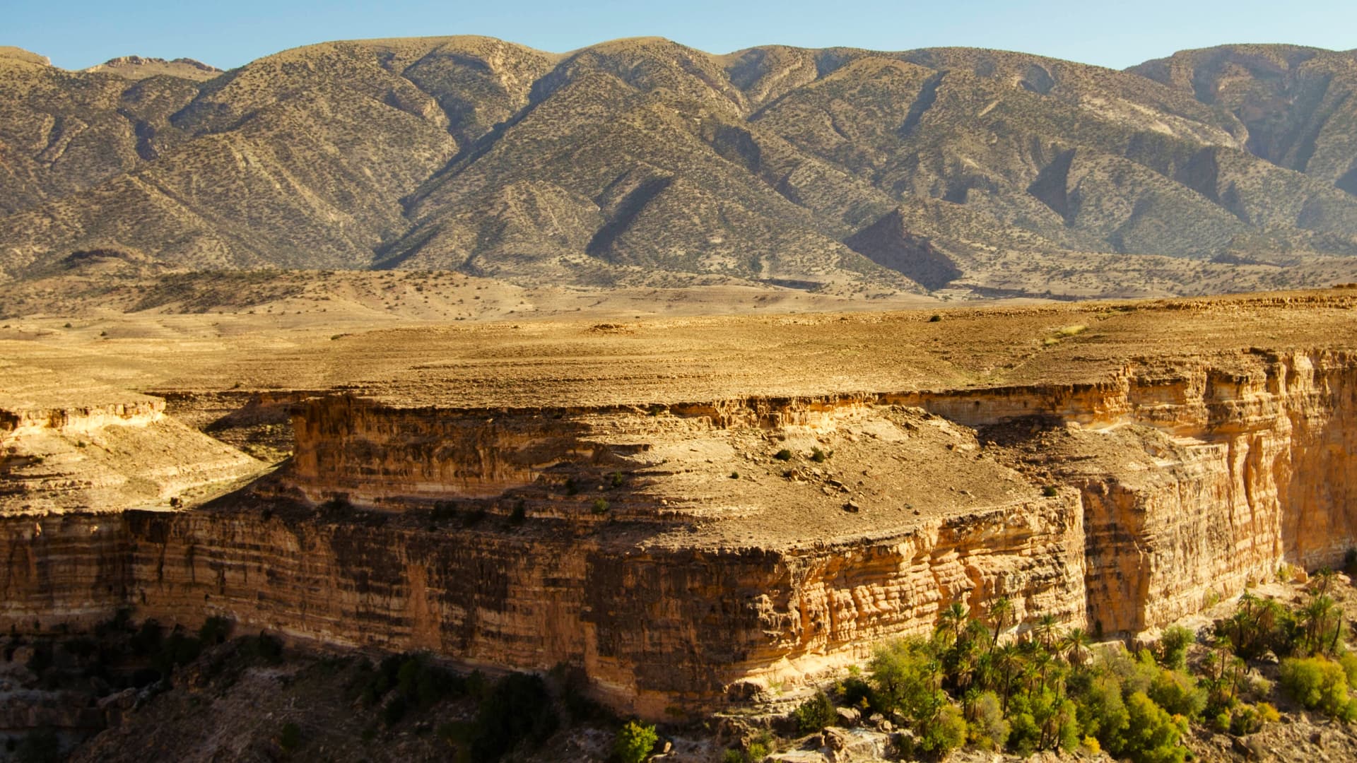
The Chaoui massif of the Aurès, the canyons of Ghoufi and the Roman grid of Timgad, extending towards perched Constantine and the Mediterranean coast of Annaba.
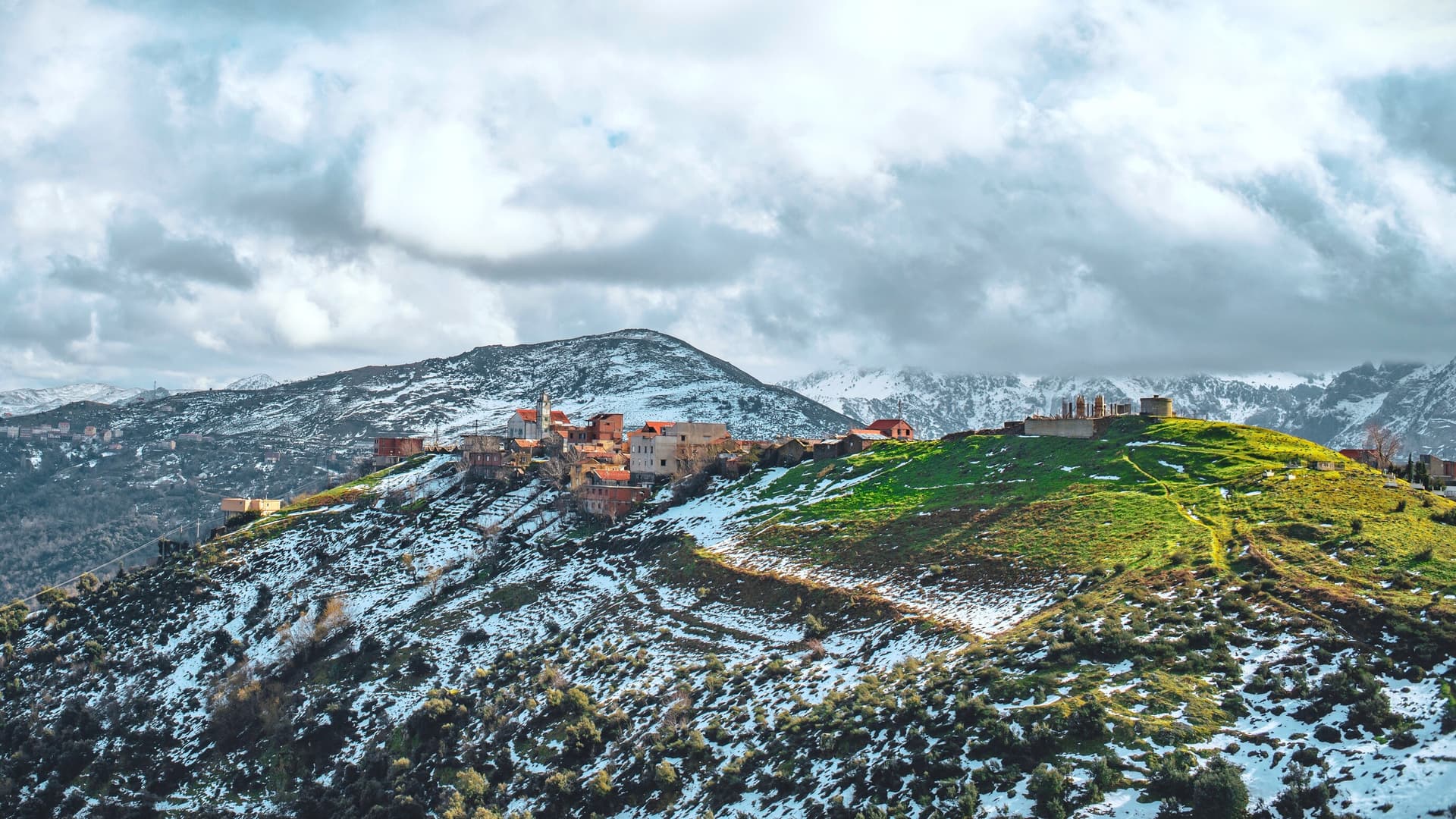
From snow-capped Djurdjura to the Roman cities of Djemila and Timgad, a 400-kilometer journey through hilltop Berber villages and steppe-like High Plateaus.
White Algiers, the UNESCO-listed Casbah, the Roman ruins of Tipasa facing Mount Chenoua and the creeks of maritime Kabylie, spanning 400 km of Mediterranean coastline.
9 of 9 results
We use cookies to improve your experience and measure our site's audience. You can choose what you accept. Learn more.